
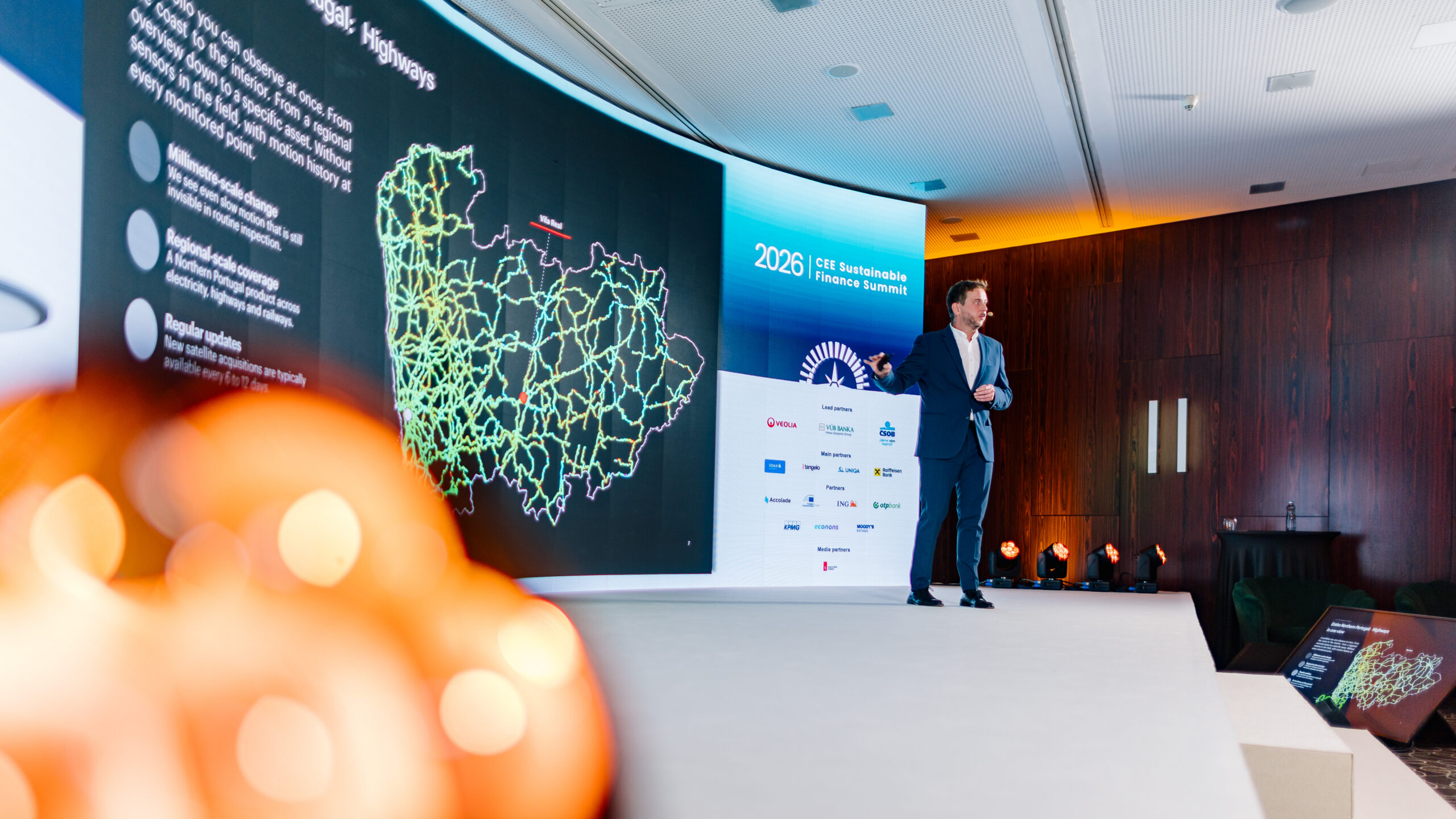
Cynergy4MIE partner INSAR participated in the CEE Sustainable Finance Summit 2026, held in Prague, highlighting how European satellite capabilities and Earth observation data can contribute to the protection of homes, roads and critical infrastructure.
As part of its participation, INSAR contributed to discussions on the potential of satellite technologies to support sustainable finance, insurance and infrastructure resilience.
A key part of the event was the insurance roundtable led by Denisa Lehmanová, which provided an opportunity for direct exchanges with representatives from the insurance sector and discussions on practical applications. The session also brought together perspectives on the Sustainable Finance Disclosure Regulation (SFDR) and satellite applications, including insights from Jana Kominek Vecerkova from EUSPA, contributing to a broader discussion on European resilience.
Better Insurance Decisions with Satellite Data

During the Summit, Matúš Bakoň from INSAR delivered the main-stage presentation “Better Insurance Decisions with Satellite Data”. The presentation explored how satellite-based ground-motion maps can provide large-scale information and support the identification of assets and infrastructure that may require closer attention.
This work is also relevant to INSAR’s contribution to the Cynergy4MIE project, particularly in relation to road condition monitoring, as well as its activities related to post-earthquake analysis in Türkiye.
Satellite-based evidence can provide useful information to the insurance sector across different stages, including:
-
Underwriting before insurance coverage;
-
Loss prevention during the coverage period; and
-
Claims investigation following an event.
Beyond insurance applications, these technologies can also contribute to earlier identification of vulnerable infrastructure, reduced disruptions and better-informed assessments when damage occurs.
Europe has established strong Earth observation capabilities through initiatives such as Copernicus and the work of the European Space Agency (ESA). Activities such as those presented by INSAR at the Summit demonstrate how these capabilities can be translated into practical applications supporting infrastructure monitoring, risk assessment and resilience.
The event also provided INSAR with the opportunity to exchange views with representatives and experts from organisations including EUSPA and EIOPA, and to explore opportunities for continued dialogue on the use of satellite information in insurance and sustainable finance.
Stay tuned for more!